


The latest technology to keep your job sites safe, productive, and profitable. We carry machine control, GNSS, total stations, drones, contractor tools, and so much more.
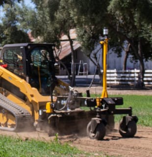
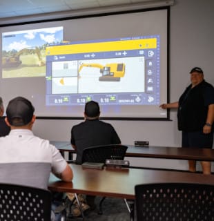
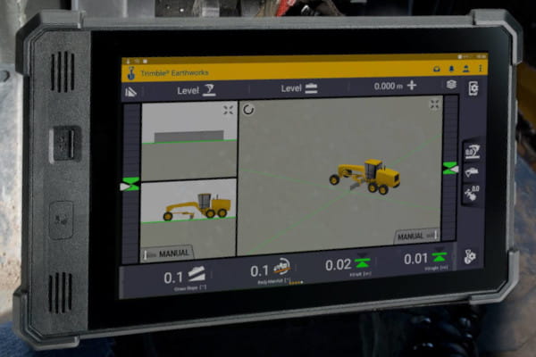
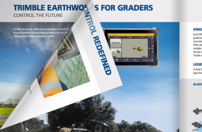
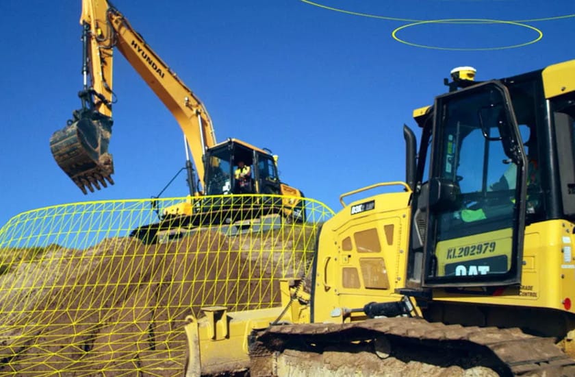
Machine control systems combine positioning sensors with computer displays to give operators better insight into and control over their work. Advancements in RTK and GPS technologies allow for centimeter-level accuracy. User-friendly interfaces enable operators to adapt to machine control quickly. As the next generation of machine control emerges, Trimble has been at the forefront of increasing automation capabilities and workflows.
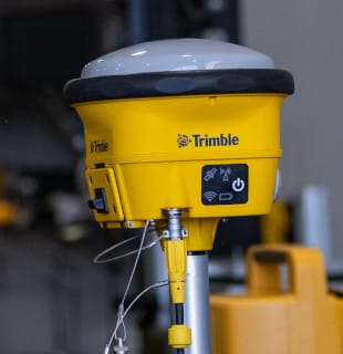
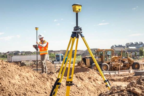
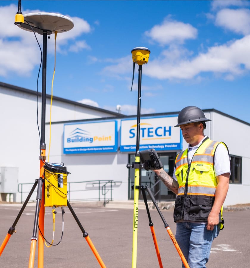
We offer the receivers, rovers, data collectors, antennas, and software needed to get the most out of Global Navigation Satellite Systems (GNSS) technology. On-machine and off-machine applications are supported so you can enhance precision, reduce errors, and improve the accuracy of your layouts and construction.
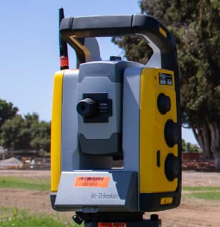
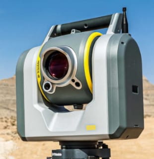
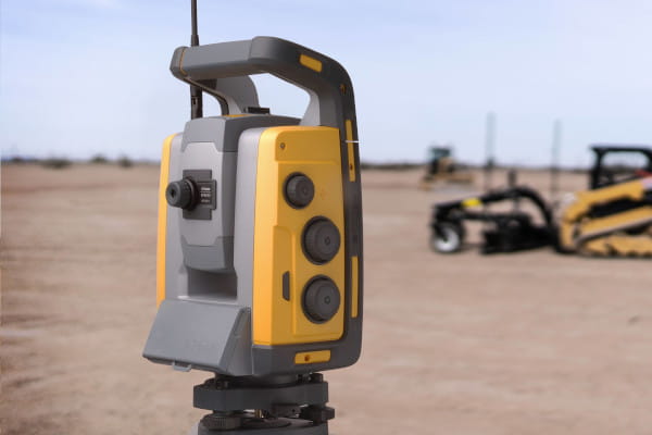
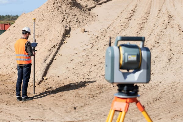
Trimble total stations are advanced surveying tools used in construction and land mapping. They combine electronic distance measurement and angle measurement to precisely determine the position of points. These devices help surveyors capture accurate data for creating maps and planning projects.
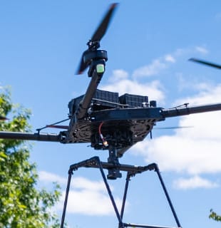
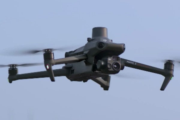
Unmanned Aircraft Systems (UAS) Aerial Imaging solutions are designed to drastically reduce time and cost to collect aerial data and guarantee the reliability you need. Aerial imaging can be used to perform a variety of tasks and produce a range of deliverables.
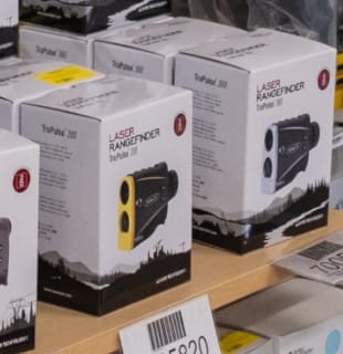
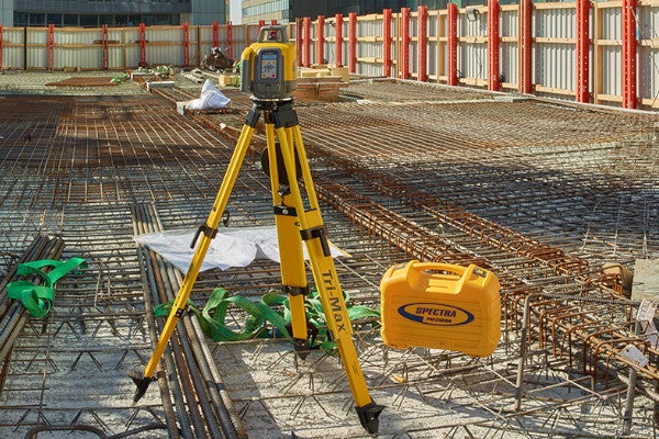
Contractor tools are available for pickup or delivery to your jobsite. We carry flat plane lasers, grade lasers, and interior lasers from Spectra Precision, utility locators from Schonstedt, ground penetrating radar, the entire Seco Accessories catalog, safety gear from Kishigo, and much more.
We offer the scanning total stations, data collectors, and software to create 360-degree point clouds, control topographic measurements, document visible features on your project, and capture rich, accurate, and complete geometrical documentation of as-builts.
View the entire portfolio of our Trimble technology solutions for construction in one document. Available as a printer friendly pdf or an inactive flipbook.
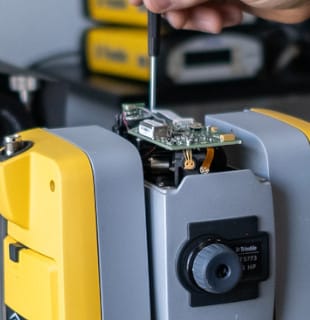
Trimble Works Plus Subscription allows you to upgrade to the latest hardware and software, including a full factory warranty and repair or replacement of accidentally damaged hardware.
 WARNING
This product can expose you to chemicals including Lead and lead compounds, which is known to the State of California to cause cancer and birth defects or other reproductive harm. For more information go to www.P65Warnings.ca.gov