
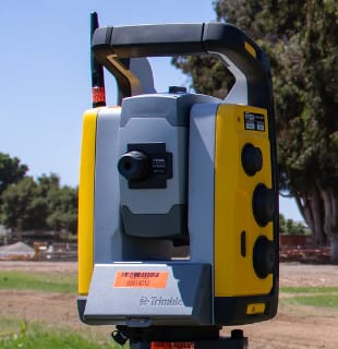


We offer the scanning total stations, data collectors, and software to create 360-degree point clouds, control topographic measurements, document visible features on your project, and capture rich, accurate, and complete geometrical documentation of as-builts.
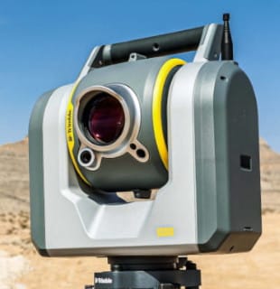
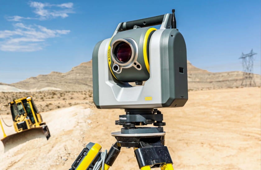
A total station and scanner in one. Get everything you need from a robotic total station, along with high-end 3D laser scanning and imagery.
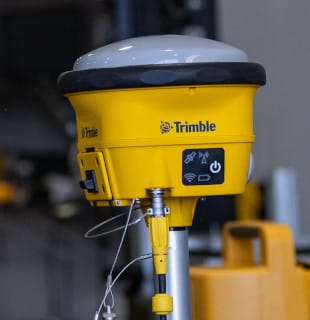
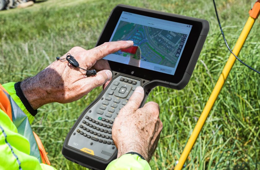
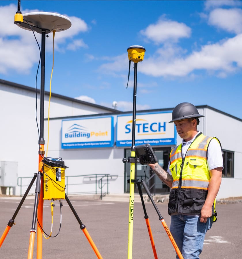
Wirelessly connected, handheld controller for GNSS or total station operations. Offers integrated Wi-Fi and Bluetooth, built-in cameras, and GPS in a lightweight, shock, dust, and water-resistant package.
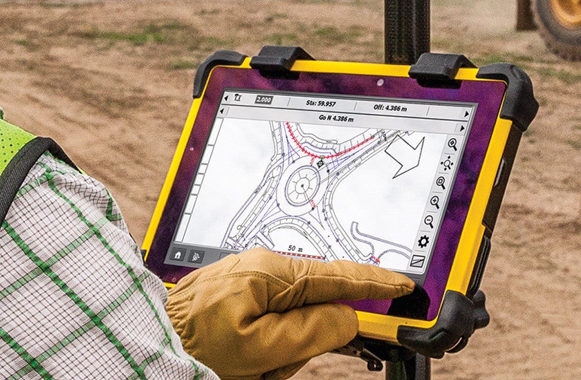
Trimble brings the advantages of fast computing power and a large screen to the field with the Trimble T100 Tablet.
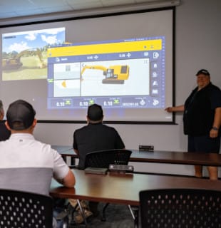
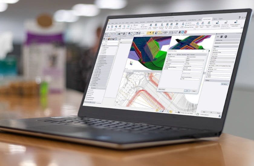
Calculate earthwork and material quantities, prepare data for construction stakeout, build 3D models, track productivity, and measure profitable.
 WARNING
This product can expose you to chemicals including Lead and lead compounds, which is known to the State of California to cause cancer and birth defects or other reproductive harm. For more information go to www.P65Warnings.ca.gov